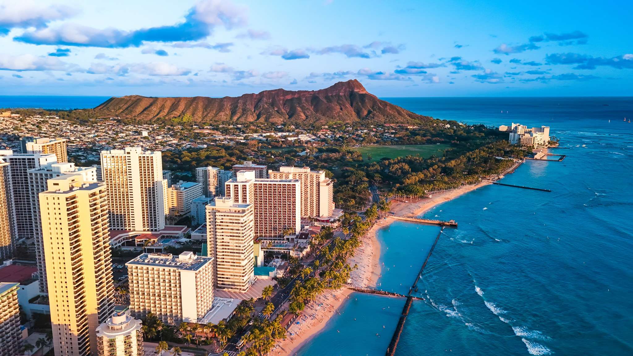
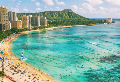


Hawaii’s island of Oahu is renowned for its natural beauty and there is no better way to connect with this than exploring the island through a hike along the Wiliwilinui trail on the Ko’olau mountain range.
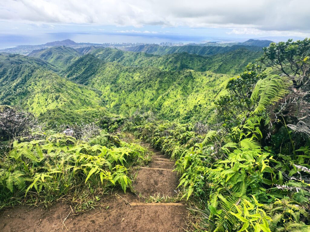
The trail features a lavish rainforest, a panoramic view of Honolulu’s skyline, and an outstanding view of Waimanalo at the summit. There are several tall peaks and ridges that we hiked on Oahu and this is easily one of our favorite trails in terms of the variety of plants, wildlife, and views on offer.
The Wiliwilinui trail will take a few hours to get up and down so it is a bit of a workout but with outstanding views as a reward. The following is a guide featuring everything you need to know before your hike!
At A Glance
Distance: 4.7 miles round trip
Difficulty Level: The trail is considered moderately difficult with some steep sections and two areas requiring the assistance of a rope to make your way up
Duration: 2-3 hours roundtrip depending on your hiking pace and rest stops
Features: lavish rainforest, panoramic views of Honolulu

Getting There
The Wiliwilinui trail is found on the Ko’olau mountain range on Oahu’s eastern side. To get the start of the trail, we drove along Wai’alae Avenue and after a couple miles we turned left onto Laukahi Street.
This took us into a residential area and as we followed the winding road uphill, we reached a kiosk which required us to show ID to gain access to the private neighborhood. This is also where we picked up a required parking permit to park in the lot in front of the trailhead. There are a limited number of permits given at one time so we recommend you arrive before 10am, especially if you are going during the weekend.
We continued along this road until we reached the parking spaces of which there were about 10 in total. Remember to place the permit on your dashboard before starting your hike to avoid a ticket and also check for ‘no parking’ signs as some of the spaces are not available for use even with the permit displayed.
Facts About Wiliwilinui Trail
- The Ko’olau range was formed through the eruption of the Ko’olau volcano around 2.5 million years ago.
- The Wiliwilinui trail is a 4.7-mile hike round trip.
- The Ko’olau range was a sacred place for ancient Hawaiians religious practices took place.
- In 1795, King Kamehameha won a pivotal battle against Oahu’s warriors on Ko’olau mountain range and the Kingdom of Hawaii was founded soon afterwards.
How Difficult is Wiliwilinui trail?
The Wiliwilinui trail is a good introduction to hiking on Oahu’s ridges as it less challenging when compared to other popular routes, but is still no easy feat.
The trail starts off relatively easy as you make your way along the dirt road but the elevation gain quickly increases towards the latter part of the hike once you reach the stairs. The most demanding aspect is how steep some of the stairs are and, along with the slippery mud, it can be challenging to pull yourself up using the ropes but otherwise there are no technical skills required to progress further.
The total distance of the hike is 4.7 miles from start to finish and it is not a looped trail meaning you will climb back down the same way you came up. Round trip the hike could last around 2 or 3 hours.
The Hike
The hike begins along a dirt road located right next to the car park and as we started, we passed through a forest of guava trees before the steep ascent began. The trail takes you up to the ‘spine’ of the ridge where there will be quite a few hills you will move up and down while giving you brilliant views on either side of the path.
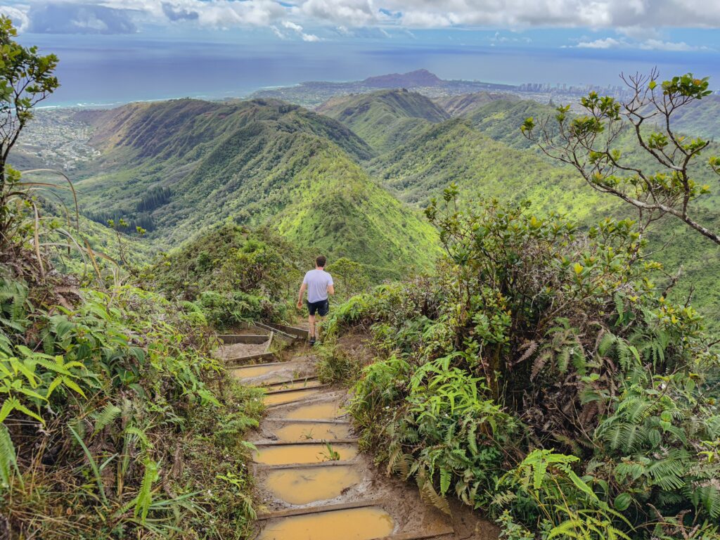
As you hike further along the ridge you will come across stairs, some of which will be quite steep and may require your hands and knees to get a little bit muddy to overcome. The day that we hiked it has rained a little bit that morning so there were parts of the trail that were quite muddy so be prepared with proper footwear.
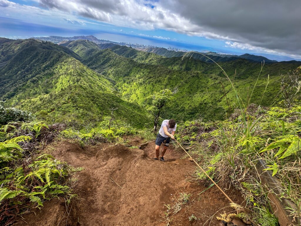
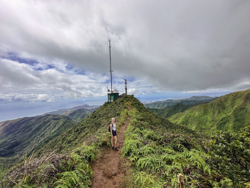
There were also ropes stationed on some of the steeper sections of the climb which could be used to pull ourselves up. The summit can be spotted where the radio tower sits up above and once you reach that you can enjoy the green hills below as well as the city in the distance. Be sure to go a little bit beyond the radio tower where you will be able to take in the view on the other side of the peak of the stunning Waimanalo and Kailua coastline.
What To Pack
As this is hike takes a few hours to complete you will need at least 1.5L (50 oz) of water per person as you will need to hydrate a lot for the final climb up the stairs. Trainers or hiking boots that are waterproof and have good grip are also vital to deal with the muddy portions of the trail and with limited cover from the sun throughout, you should pack some sunblock in your backpack and perhaps a hat as well.
Post Hike
If you are hungry after your hike and are looking for somewhere to get food, you will not have to drive any longer than 15 minutes to find several places. Once make your way out of the residential area you will drive back into the eastern side of Honolulu and there will be many options to choose from in the Wai’alae neighborhood.
If you are interested in a swim after your hike then we recommend heading East as if you were going towards Koko head. Within a few minutes, we saw a few different beaches on our right hand side that had parking spaces and were perfect for a quick dip in the water. We also saw some places to get food over this side but less so compared to Wai’alae.